
Projects
Latest work
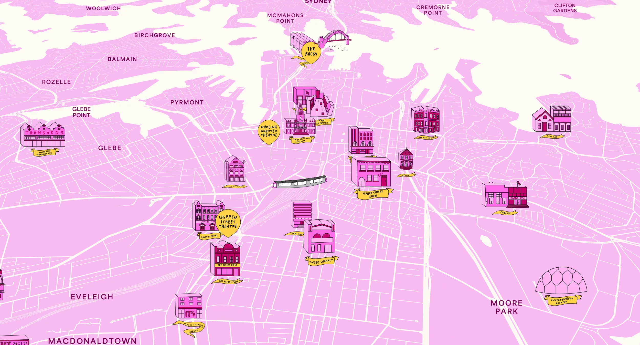
Sydney Fringe↗
Interactive Map
Interactive map, and custom CMS designed and built to help Sydney Fringe market their venues and shows. The map was integrated into the Fringe website and application.
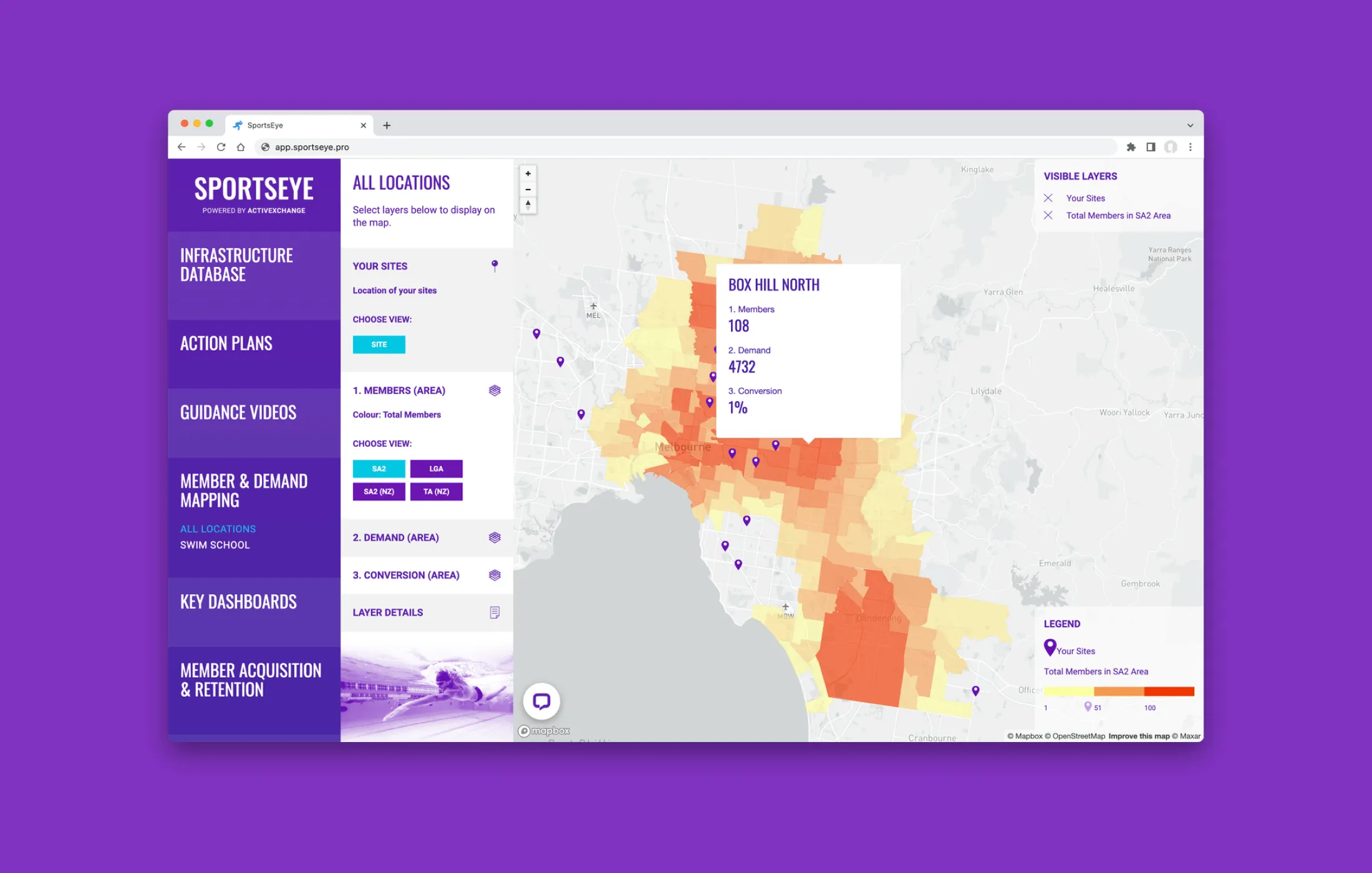
SportsEye Suite
Interactive Map
Product suite designed and developed for startup ActiveXchange, bringing data & insights to the sport & fitness sector.
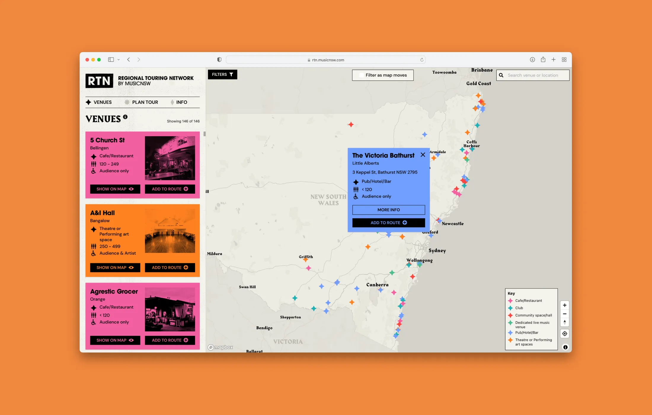
Regional Touring Network
Application
Design and development for Music NSW to create a custom application, helping musicians plan regional tours and venues to promote their facilities.
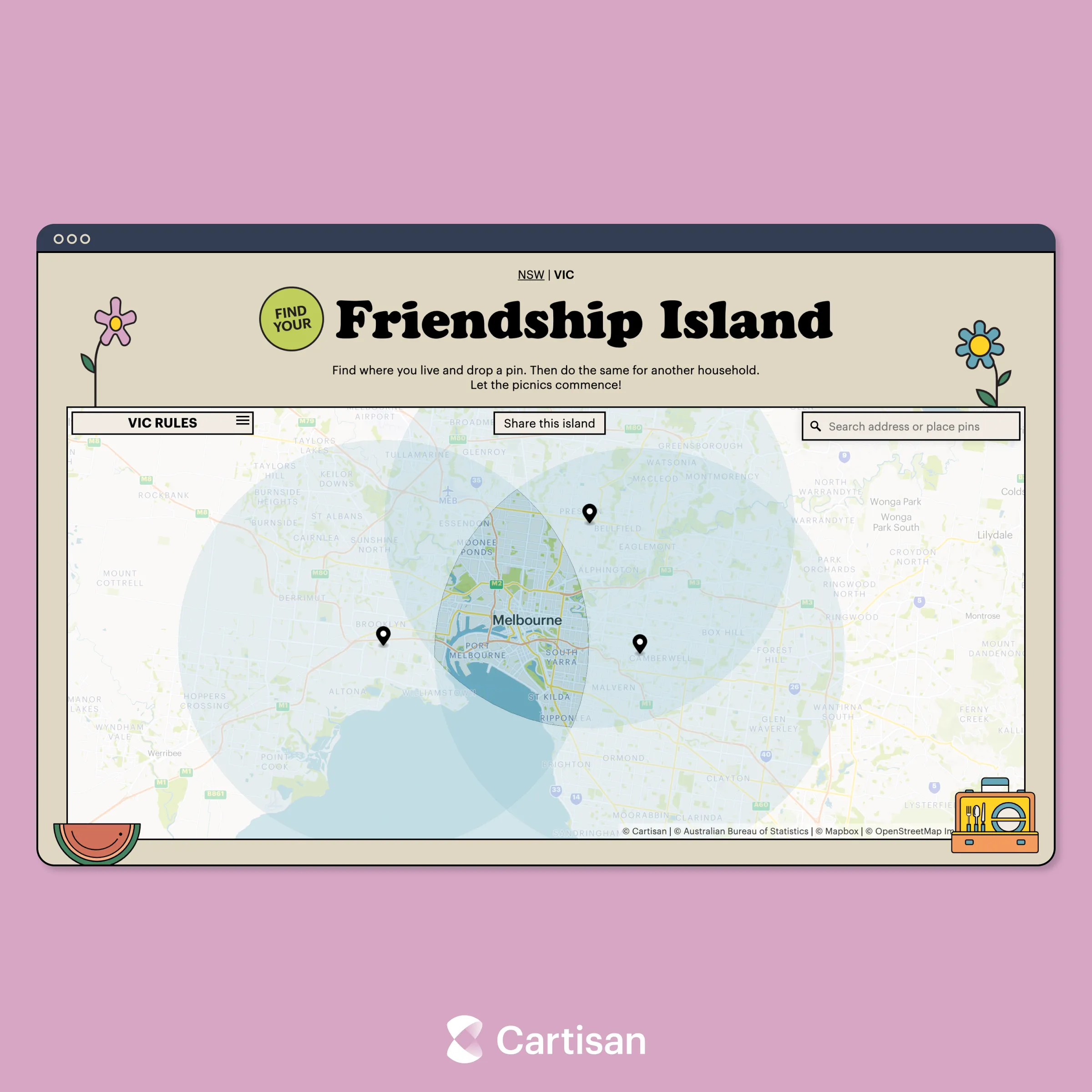
Friendship Island
Interactive Map
Website created to help people navigate COVID restrictions in New South Wales and Victoria.
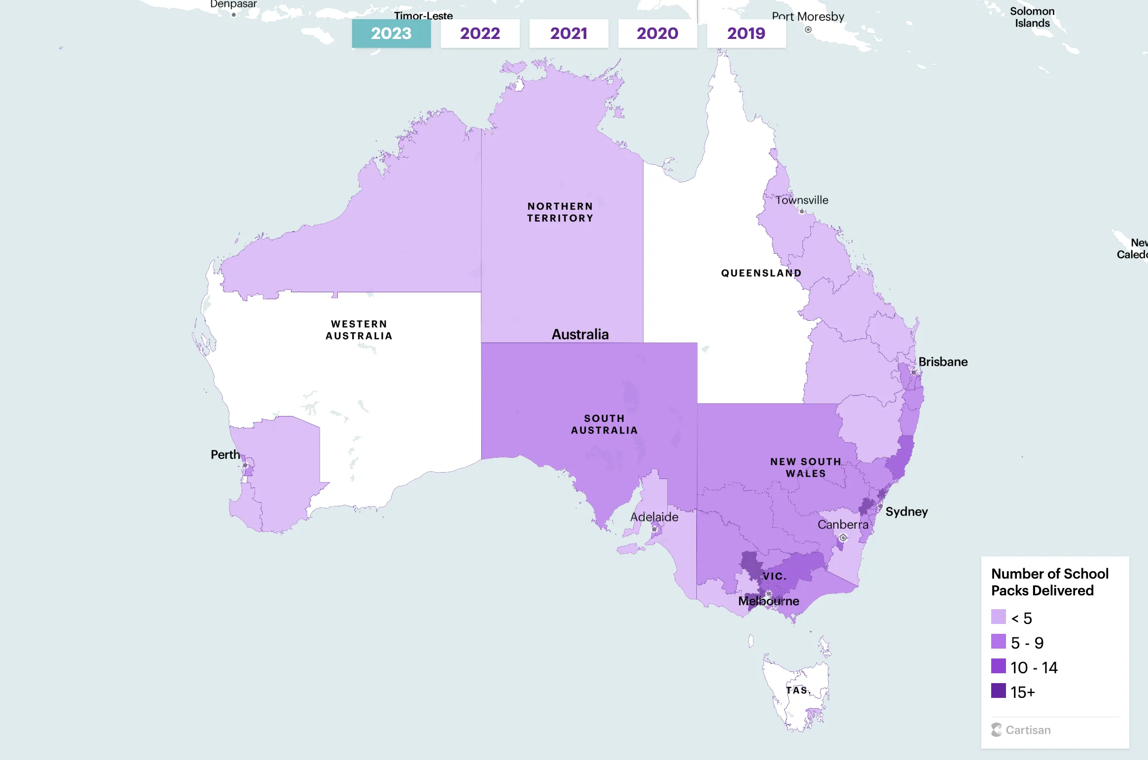
Wear It Purple
Interactive Map
Design and development of an interactive map for Wear It Purple to analyse and communicate the impact of their charity.
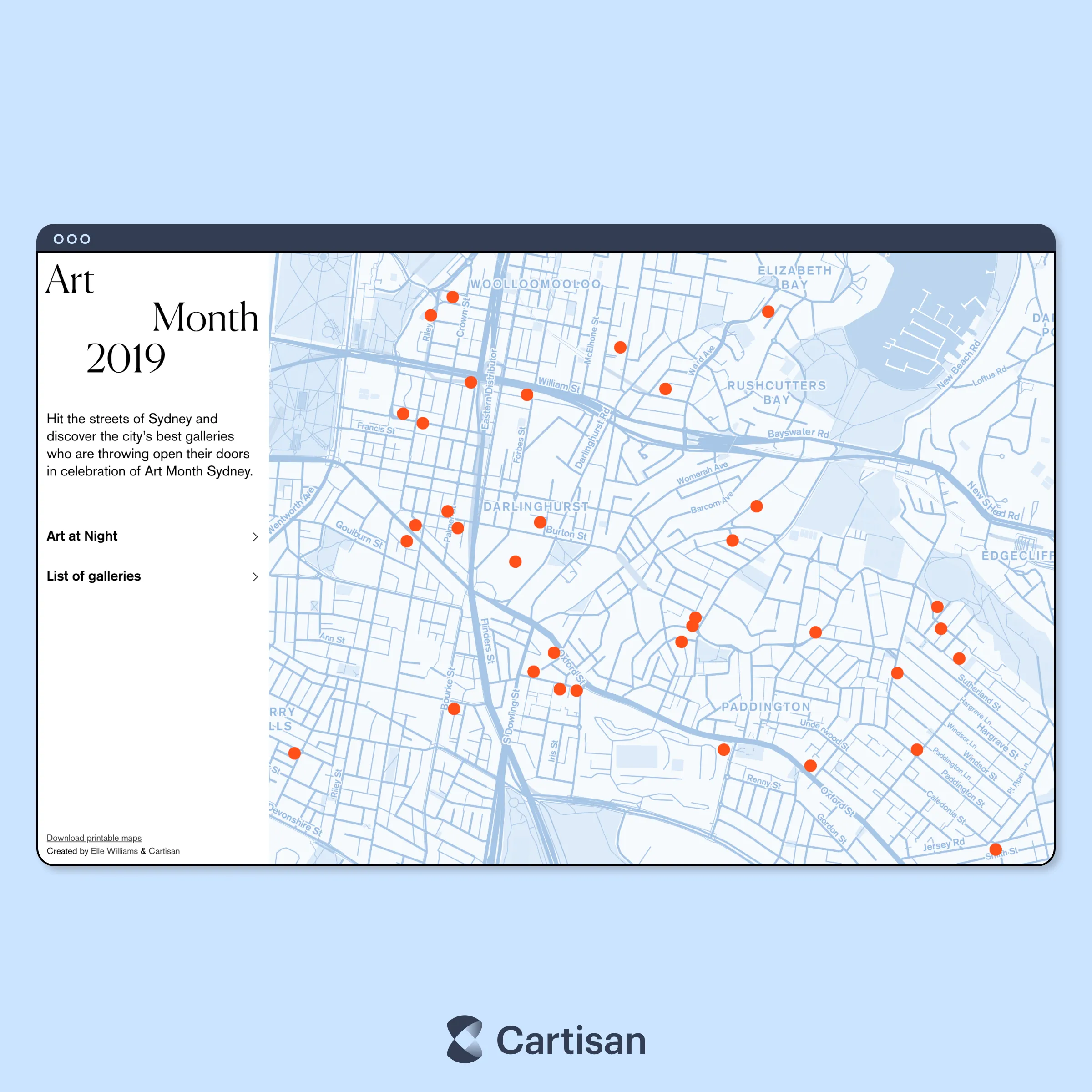
Art Month Sydney
Application
Print and interactive maps designed and developed for Art Month Sydney.
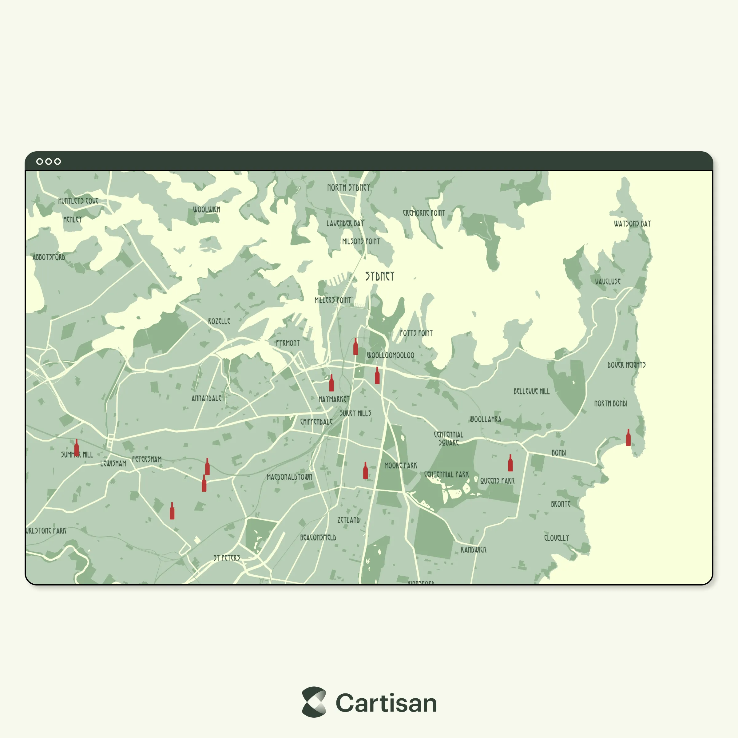
Wine Envy
Interactive Map
Interactive maps developed to help showcase Wine Envy products, including custom base map aligned to brand identity.
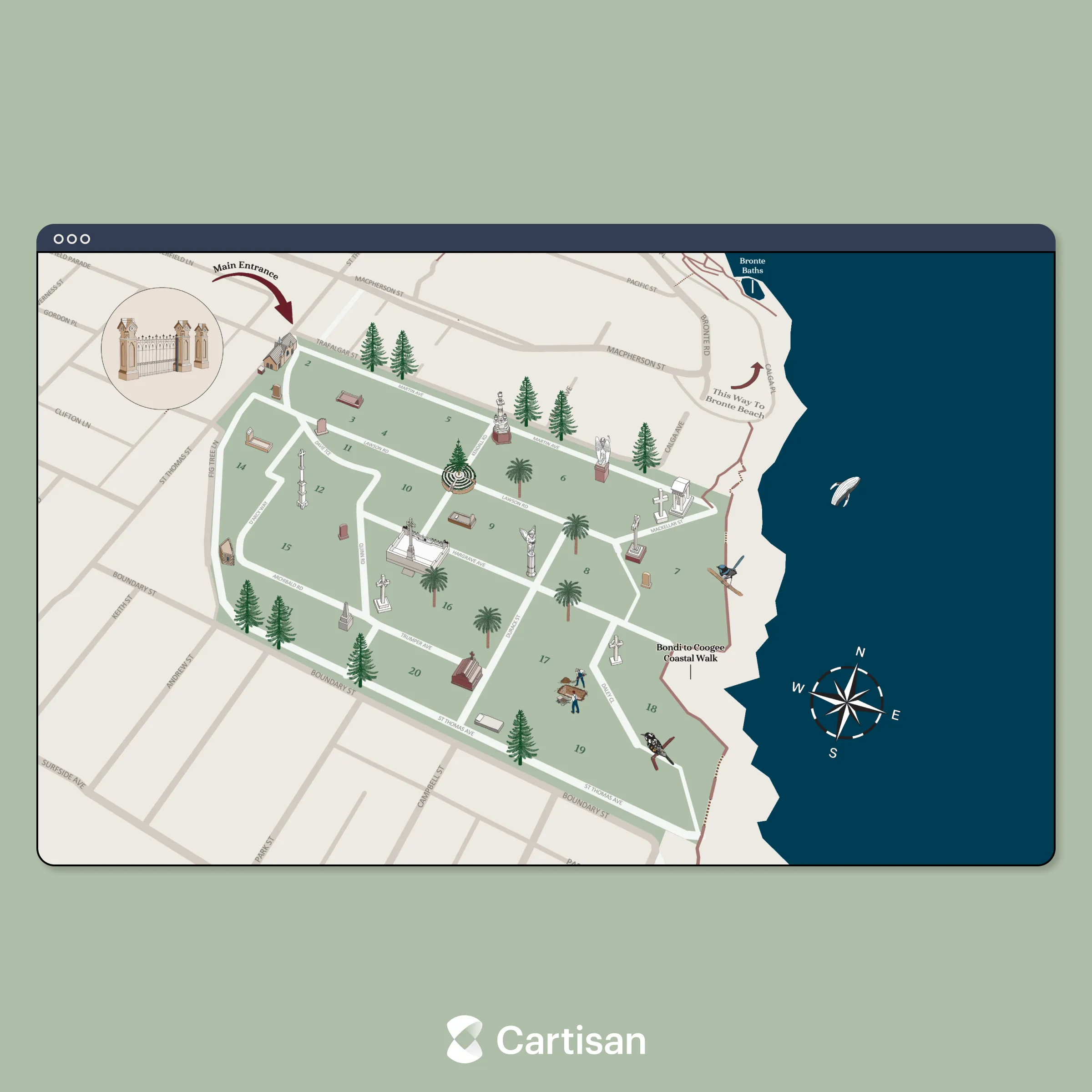
Waverley Cemetery
Interactive Map
Interactive map of Waverley Cemetery developed to showcase interesting locations within the iconic destination.
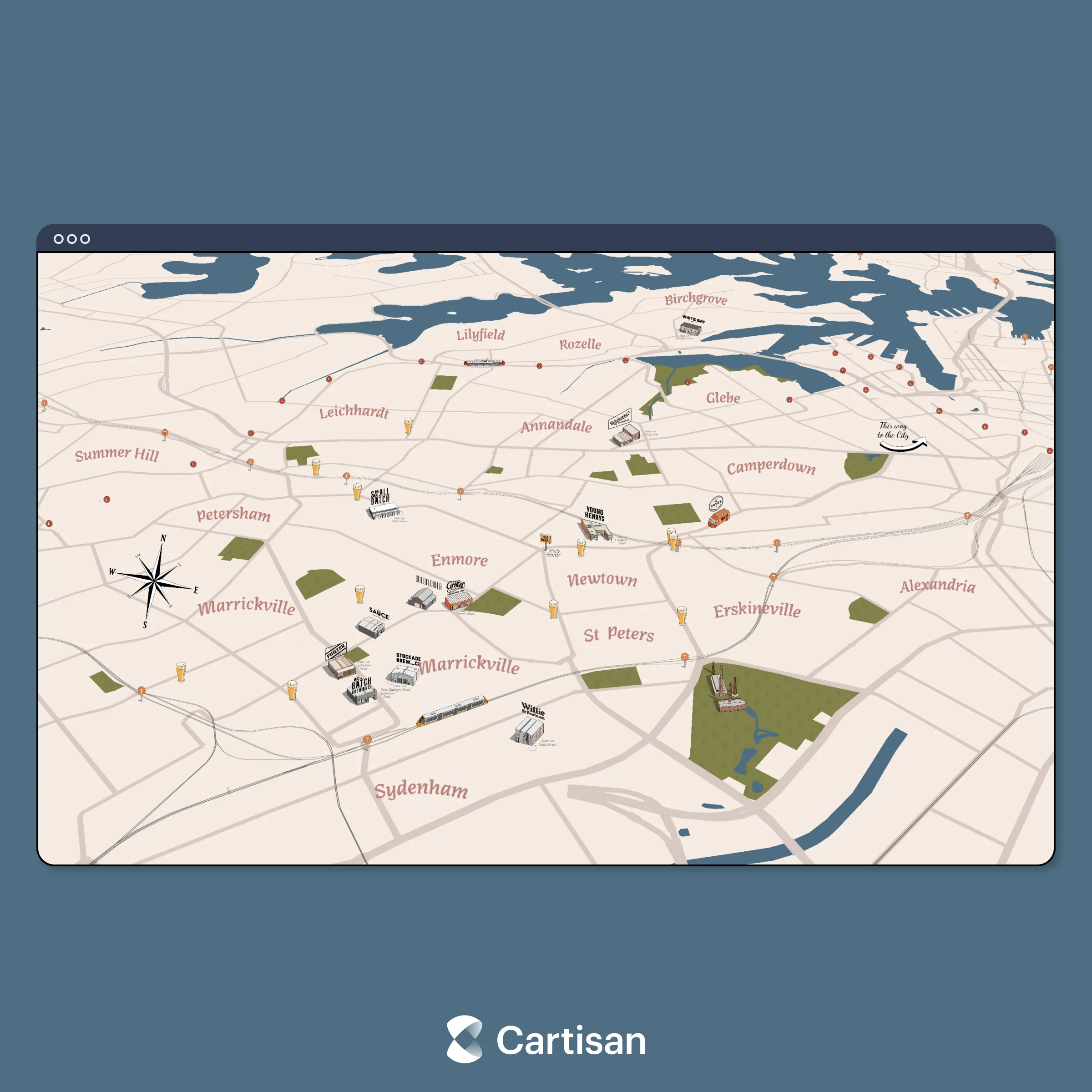
Inner West Ale Trail
Interactive Map
Interactive map of Peita Blythe’s Inner West Ale Trail illustration.
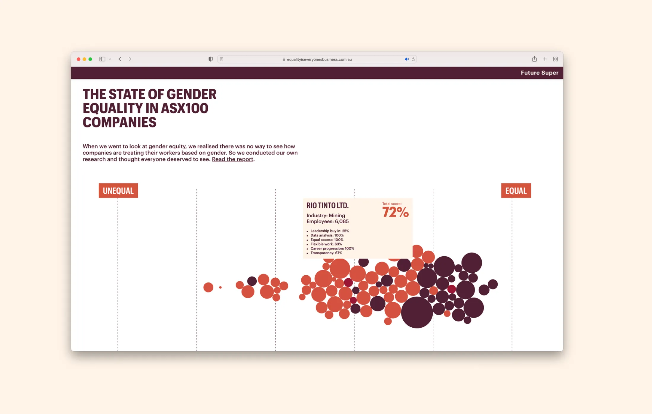
Future Super
Data Visualisation
Data visualisation for Future Super’s campaign Equality Is Everyones Business, highlighting gender equality within the ASX100.
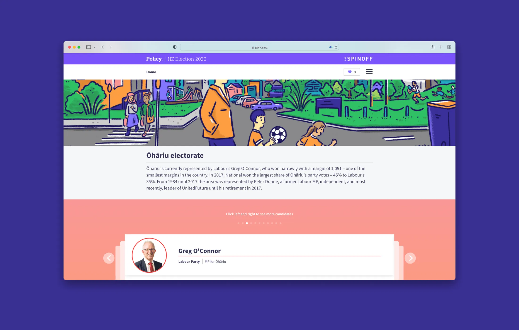
Policy NZ
Data
Data workflows and insights to support Policy website development and promotion.
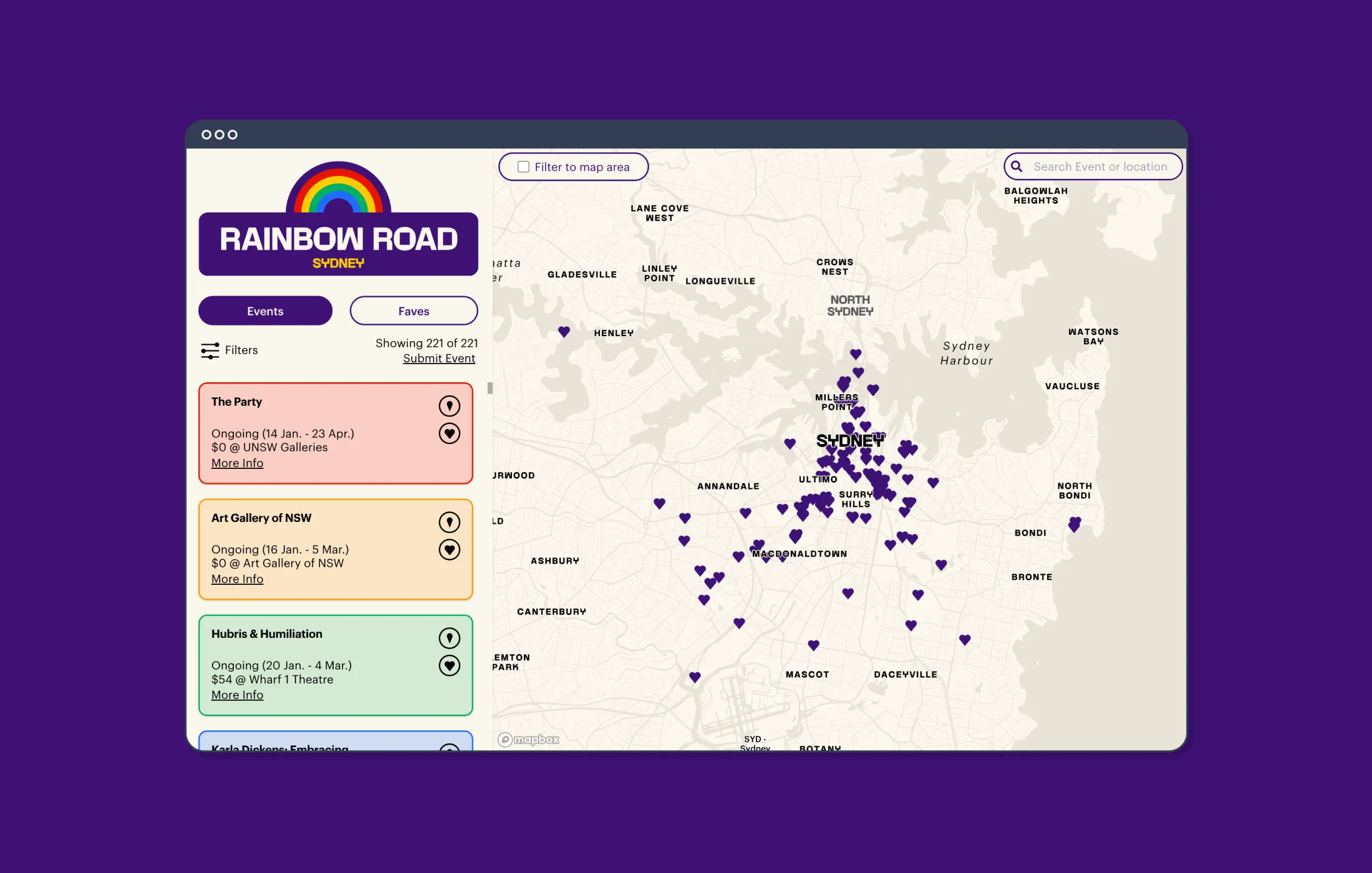
Rainbow Road↗
Interactive Map
Interactive map designed and developed to help people attending Sydney World Pride 2023 find, plan and share events.
Contact
Work with Cartisan
Join the 100+ organisations and 200,000+ users worldwide benefiting from our maps and data.